Know your way in.
Use the access records to plan. Confirm parking, permission, and local signs before you go.
A field atlas for the water you know,
and the stretch you haven’t found yet.
A little knowledge.
A whole lot of water.
A river is more than a line on a map.
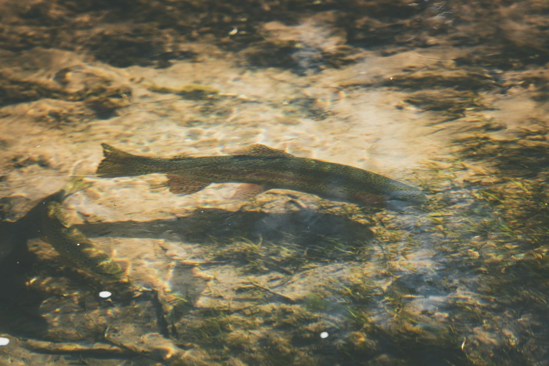
There’s a whole world beneath the surface.
Salmo trutta
A moment above the water.
An angler, a landing net, and one reason to get up early.
THREE PORTRAITS. ONE SHARED PULL.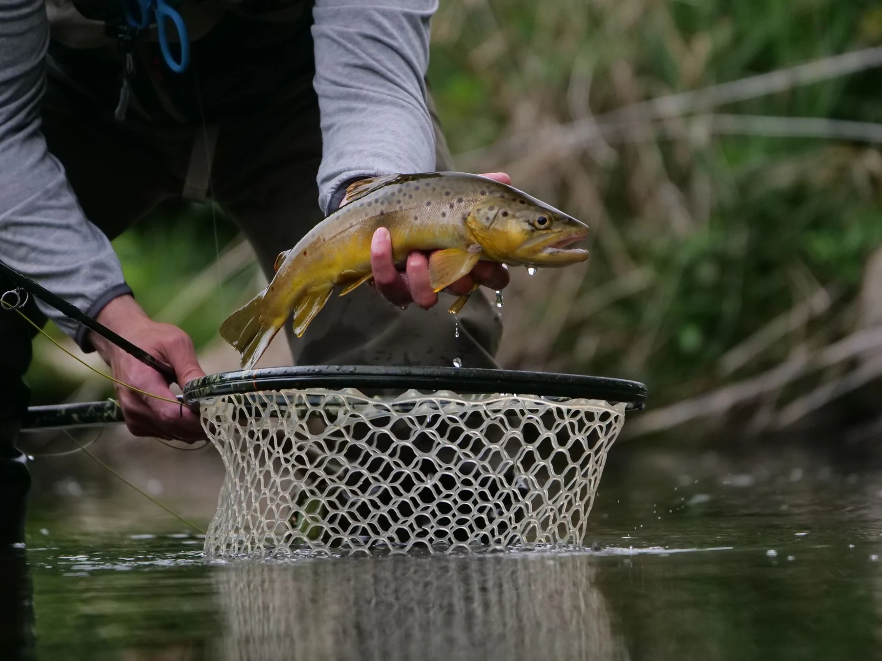
See the riverbank, follow the course, and check the latest available gauge reading.
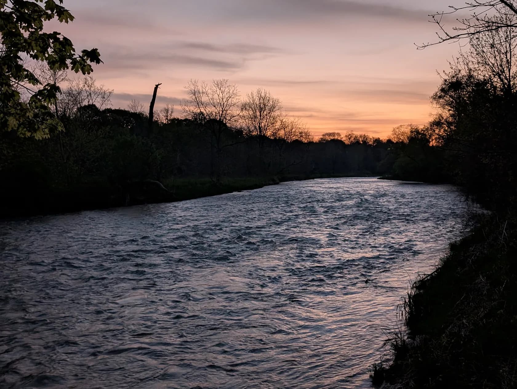
Mississauga · Brampton · Lake Ontario
The Credit winds south from the Orangeville area and reaches Lake Ontario at Port Credit.
The best part of a good map is where it takes you. Look after the water when you get there.
Use the access records to plan. Confirm parking, permission, and local signs before you go.
Seasons and limits can change along the same river. Check the current rules for your exact location.
Ontario fishing regulationsGiant Asparagus / Pexels ↗