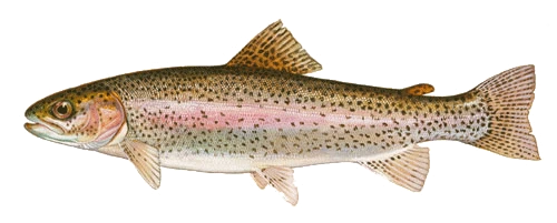
Rainbow trout
Oncorhynchus mykiss
Duane Raver · U.S. Fish and Wildlife Service
Sources for the cartography, species plates, and field photography in Trout Maps.
River guides and street tiles credit OpenStreetMap contributors. The atlas uses Natural Earth and Mapzen terrain.
Provincial trout reaches come from Ontario Aquatic Resource Areas. Place search uses Geographic Names Ontario, and clustered access points use Ontario Fish ON-Line. Contains information licensed under the Open Government Licence – Ontario.
Oncorhynchus mykiss
Duane Raver · U.S. Fish and Wildlife Service
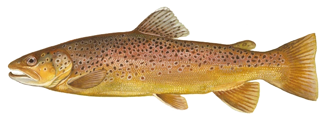
Salmo trutta
Duane Raver · U.S. Fish and Wildlife Service
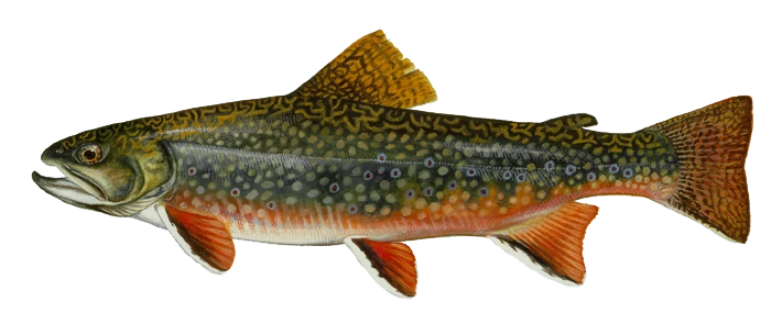
Salvelinus fontinalis
Duane Raver · U.S. Fish and Wildlife Service
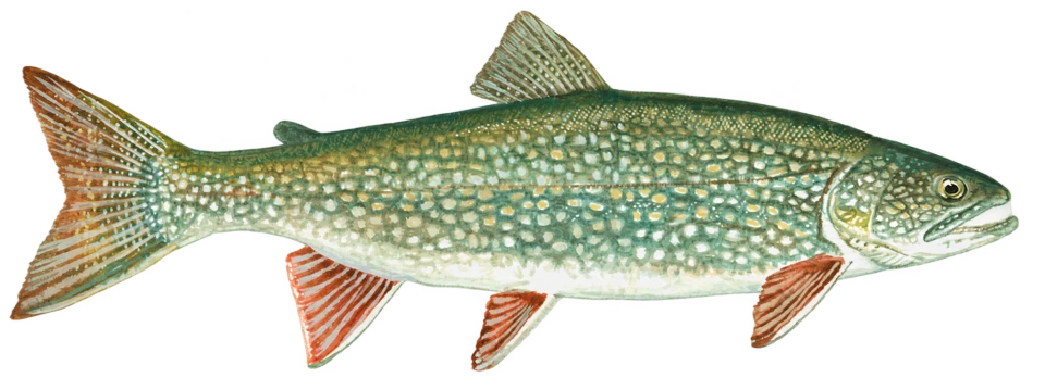
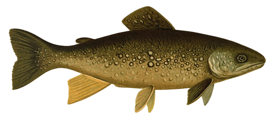
Salvelinus namaycush × S. fontinalis
Angelena Sikora · U.S. Fish and Wildlife Service, Midwest Region
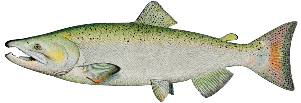
Oncorhynchus tshawytscha
U.S. Fish and Wildlife Service
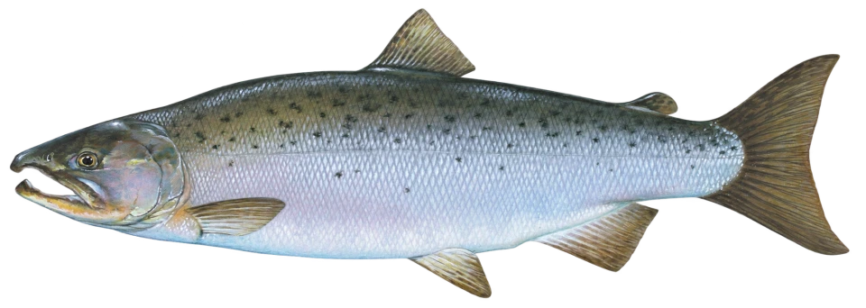
Oncorhynchus kisutch
Timothy Knepp · U.S. Fish and Wildlife Service
These editorial photographs depict trout and angling in several locations.
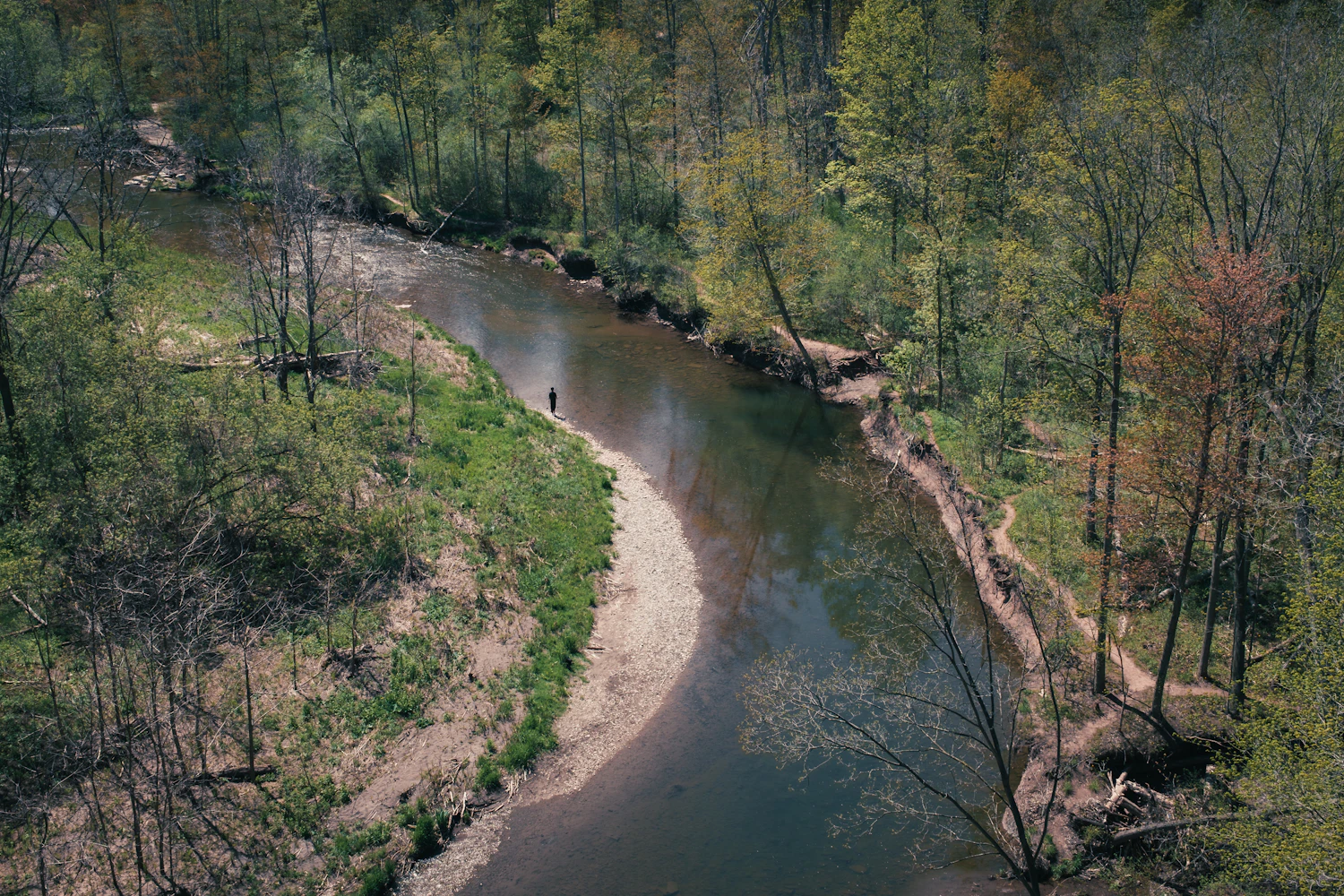
Oles Borys / Unsplash
Unsplash License
Michael Hamments / Unsplash
Unsplash License

Robson Hatsukami Morgan / Unsplash
Unsplash License
Declan P / Unsplash
Unsplash License
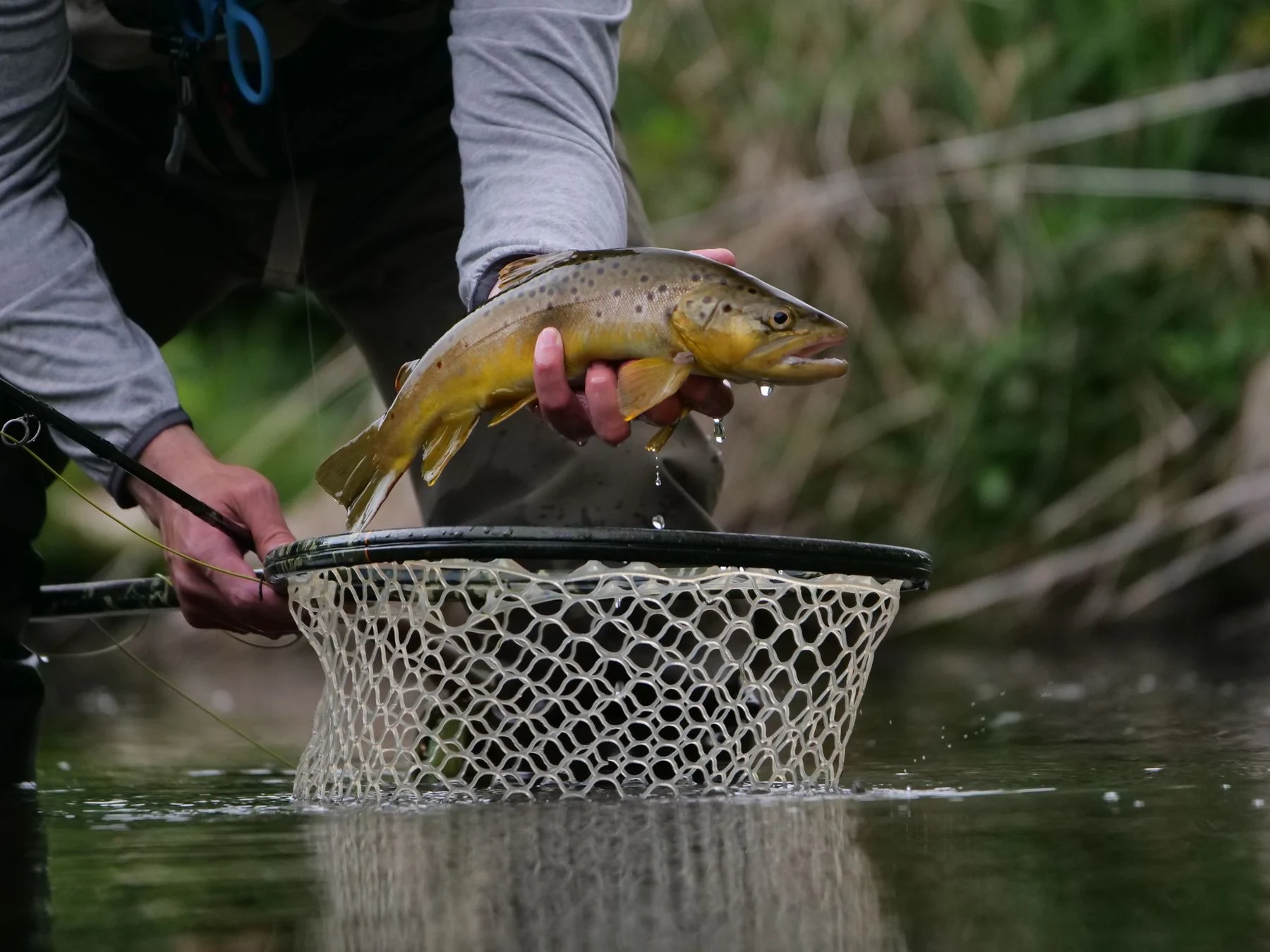
Photo: Giant Asparagus / Pexels
Pexels License
Photo: Jon Sailer / Unsplash
Unsplash License
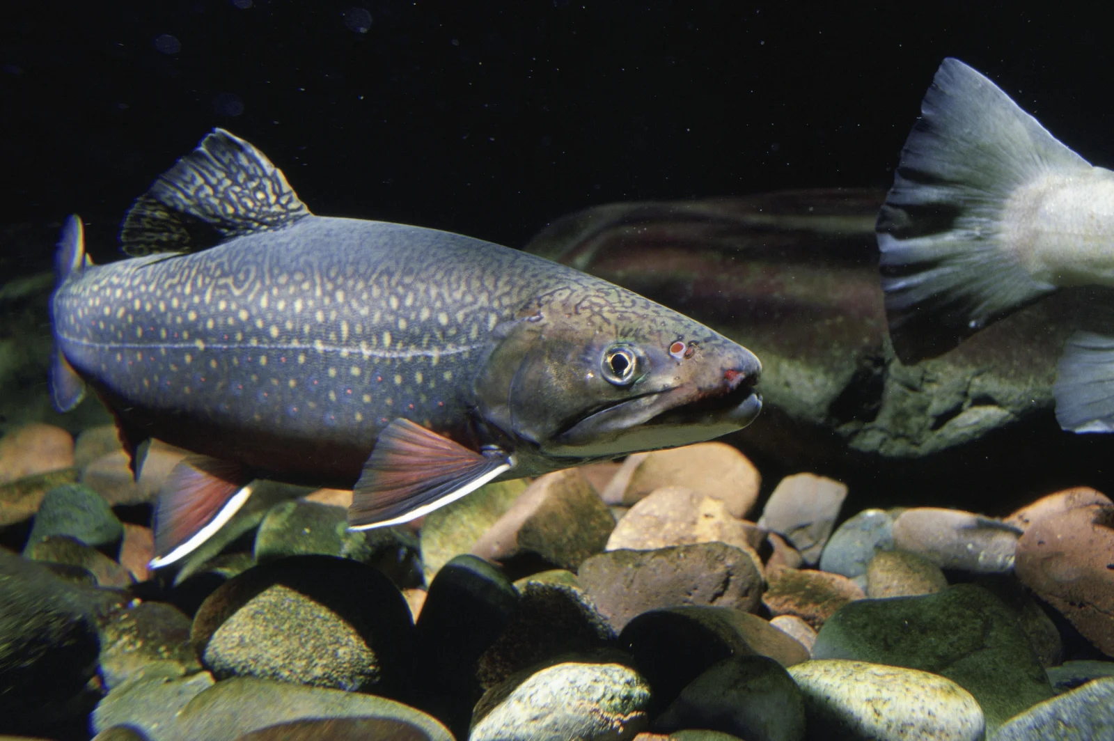
Photo: Eric Engbretson / USFWS (public domain)
Public domain — released by author
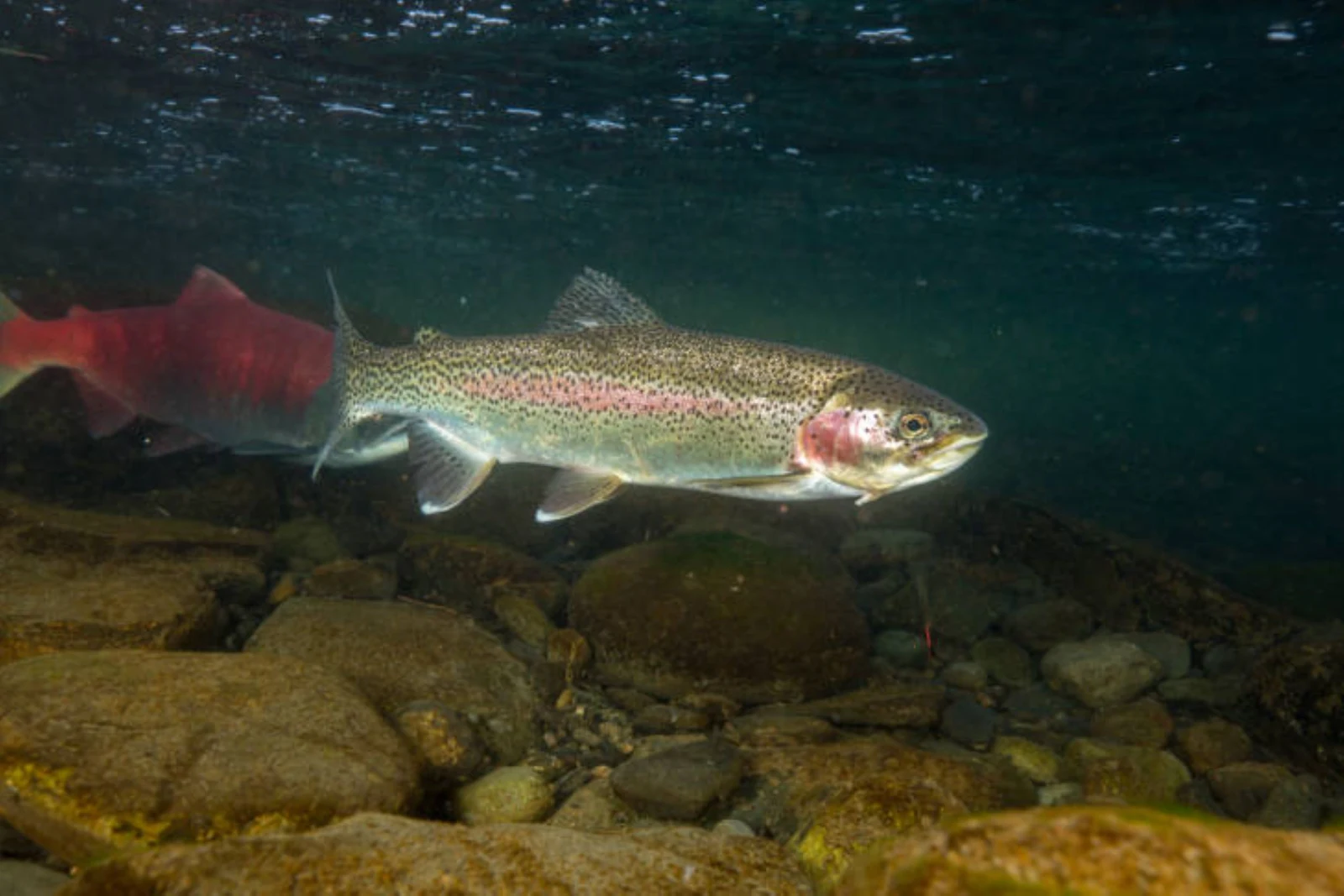
Photo: Ryan Hagerty / USFWS (public domain)
Public domain